

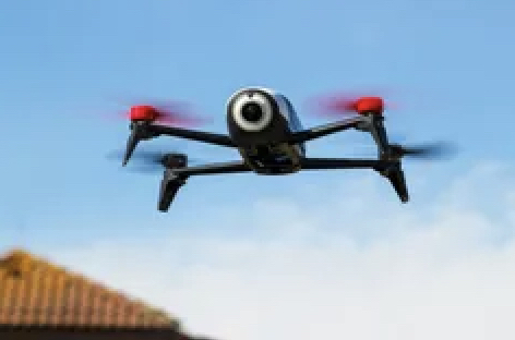
Insurance companies are trying to weed out the high risk properties from their portfolios. No longer are they taking a homeowner’s word for it, but instead they’re using planes, drones and satellites to take aerial images. A recent customer shared a letter with me from their insurance company alerting them to concerns with their roof citing shingle damage, gutters clogged with debris, and the need for moss treatment. For fear of losing their home insurance, the letter prompted the customer to take immediate action. These letters are designed to put homeowners on notice. In some cases homeowners will have time to rectify the situation and make repairs, and provide proof. The worst case scenario is that homeowners will lose their home insurance policy.
A recent Wall Street Journal podcast titled ‘Is It a Bird? A Plane? No. It’s Your Insurer’, highlighted the aggressive activities of insurance companies. Essentially they’re trying to reduce the risk in their portfolios by actively monitoring homes and using computer modeling and trained AI models to look for red flags. Some of the warning signs are based on underwriting criteria, damages to roofs, debris on roofs, and tree branches overhanging over roofs. So, how rampant is this practice? The Journal reports that one of the biggest operations covers 99% of properties in the U.S. are they’re photographing them regularly.
Have you received a letter from your insurance company alerting you to their monitoring activities or planned activities? Have you lost your home insurance? Either way, corrective action should be taken immediately to address your insurers’ concerns. In the end, you and your insurance company will benefit by mitigating the risk of damages to your property. This should translate to more reasonable increases in policy premiums.

